Mapping British Columbia From Above

We're a Kelowna-based drone surveying and geospatial company on a mission to make precise aerial data accessible, affordable, and actionable for every industry across BC.

From the Okanagan to All of BC

Swift Aerial Surveys was founded in 2015 with a clear vision: to bring the power of drone-based geospatial technology to the professionals who need it most — engineers, surveyors, farmers, project managers, and environmental consultants working across British Columbia's diverse landscapes.

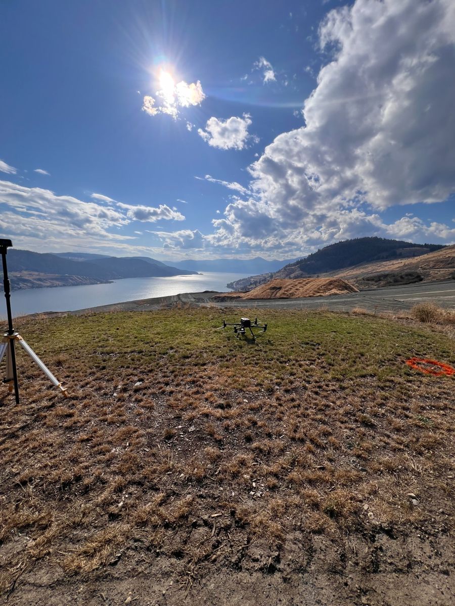
What started as a small operation in the Okanagan Valley has grown into a trusted partner for projects throughout the province. From the vineyards and orchards of the Central Okanagan to construction sites in the Interior, mining operations in the north, and infrastructure projects across BC, we've built our reputation on delivering accurate data, on time, every time.

Over the years, we've invested heavily in staying at the forefront of the industry — upgrading our sensor technology, integrating AI into our processing workflows, and continuously expanding the range of services we offer. Today, we bring together cutting-edge drone platforms, advanced LiDAR and multispectral sensors, and AI-powered data processing to deliver geospatial solutions that were unimaginable just a decade ago.

But technology is only part of the equation. What truly sets us apart is our commitment to understanding each client's unique needs and delivering data products that integrate seamlessly into their existing workflows. We don't just fly drones — we solve problems.

Team / Field Photo

A Decade of Growth

2015

Founded in Kelowna

Swift Aerial Surveys launched with a focus on aerial photogrammetry for construction and agriculture projects in the Okanagan Valley.

2017

Expanded into Multispectral

Added multispectral imaging capabilities to serve the growing precision agriculture sector — vineyards, orchards, and farms across the region.

2019

LiDAR Capabilities Added

Invested in drone-mounted LiDAR technology, opening up new capabilities in forestry, terrain modeling, and bare-earth surveying under vegetation canopy.

2022

Province-Wide Operations

Expanded our service area across all of British Columbia, taking on projects in the Interior, Northern BC, and the Lower Mainland.

2024

AI-Integrated Workflows

Began integrating AI-powered tools into our data processing pipelines — accelerating delivery, improving classification accuracy, and automating repetitive tasks.

2026

The Road Ahead

Continuing to push the boundaries of what's possible with drone-based geospatial technology, AI, and automation — delivering faster, smarter, and more precise data for our clients.

Our Core Values

Every project we take on is guided by the same set of principles that have defined our work since day one.

Accuracy First

Our clients make critical decisions based on our data. We never compromise on accuracy — every dataset is validated, every deliverable is quality-checked, and every project meets or exceeds specifications.

Safety Always

Every flight is planned with safety as the top priority. We are Transport Canada certified, fully insured, and maintain rigorous pre-flight and operational safety protocols on every project.

Client Satisfaction

Our work isn't done until you're 100% satisfied. We take the time to understand your needs, communicate clearly throughout the project, and deliver exactly what you need in the format you need it.

Innovation

We continuously invest in new technology, from advanced LiDAR sensors to AI-powered processing. Staying at the cutting edge means our clients always benefit from the best tools and techniques available.

Tools of the Trade

We invest in industry-leading hardware and software to ensure every project delivers the highest quality data. Here's what powers our operations.

DJI Enterprise Drones

Matrice & Mavic platforms for reliable, repeatable flights

LiDAR Sensors

High-density laser scanning with hundreds of points per m²

Multispectral Cameras

5-band sensors for NDVI, NDRE, and CWSI vegetation analysis

Thermal Cameras

Radiometric IR sensors with calibrated temperature data

RTK/PPK GNSS

Survey-grade positioning for centimetre-level accuracy

AI-Powered Processing

Automated classification, feature extraction, and analysis

Agisoft Metashape

Industry-standard photogrammetry and point cloud processing

ArcGIS & QGIS

GIS analysis, map production, and spatial data management

Service Areas Across British Columbia

Based in Kelowna, we serve projects throughout BC. Whether your site is in the Okanagan, the Interior, Northern BC, or the Lower Mainland — we'll get there and get it done.

Kelowna West Kelowna Vernon Penticton Kamloops Salmon Arm Revelstoke Cranbrook Nelson Prince George Williams Lake Vancouver Surrey Victoria Nanaimo And anywhere else in BC

Let's Work Together

Have a project in mind? We'd love to hear about it. Get in touch for a free consultation and quote.

Get in Touch